


RTK Positioning Phone- Centimeter Accuracy in Hand
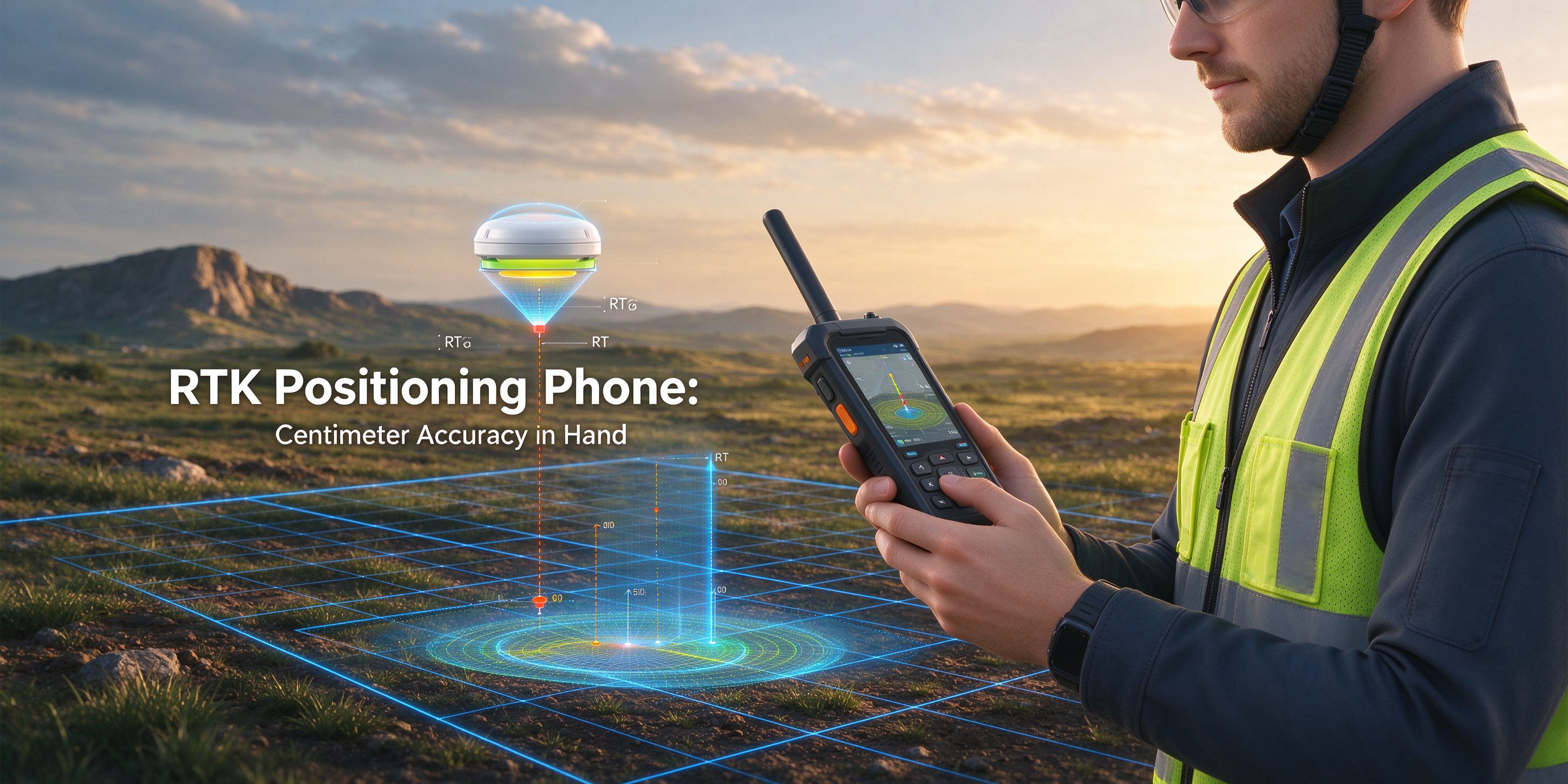
An rtk positioning phone brings survey-grade accuracy to a handheld device. Using real-time kinematic correction, it pinpoints position to within a few centimeters, far beyond ordinary phone GPS. For surveyors, farmers, and map-makers, an rtk positioning phone replaces heavy gear with a pocket tool that does the job.
Centimeter Precision
An rtk positioning phone combines multi-band satellite signals with a correction service to fix its position down to centimeter level. It is accurate enough for stake-outs, as-builts, and asset mapping.
A Full Handset, Too
Alongside precision GNSS, an rtk positioning phone runs mapping apps, cameras, and rugged communication on a full touchscreen. It survives dust, rain, and drops in the field.
Work Faster in the Field
Surveyors collect points and polygons directly on the device, then sync data to office software. Farmers and utilities use an rtk positioning phone to map boundaries, pipes, and crops with confidence.
Conclusion
An rtk positioning phone puts centimeter-level GNSS accuracy in a rugged handheld. For surveying, agriculture, and mapping, it replaces bulky instruments with a pocketable, connected device that delivers precise results anywhere on site.


